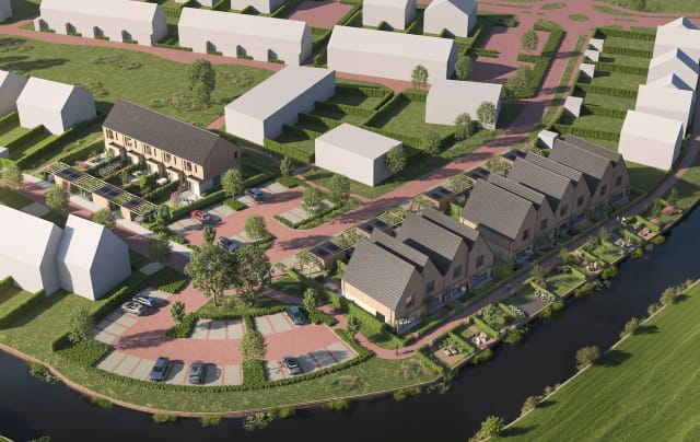
Apartment building map
Start with a building render. Connect buildings, floors and units so buyers can explore the development and open apartment details.
Explore the apartment demoInteractive Real Estate
Turn your floor plan, building photo or site plan into an interactive image. Draw clickable areas, add property details, and embed the finished map in WordPress with one shortcode.
Free plan: one project, up to 25 flats. Advanced features depend on your plan.
An image map connects regions of an image to different links or details. A visitor can click an apartment on a building render or a room on a floor plan. Interactive Real Estate uses an SVG overlay and a visual editor, so property teams can manage those regions inside WordPress.
It is designed for buildings, floors and units. If you only need a few links on a fixed-size diagram, native HTML may be enough. If you need geographic search, route directions or a satellite imagery service, choose a tool built for those tasks.
Start with a building render. Connect buildings, floors and units so buyers can explore the development and open apartment details.
Explore the apartment demo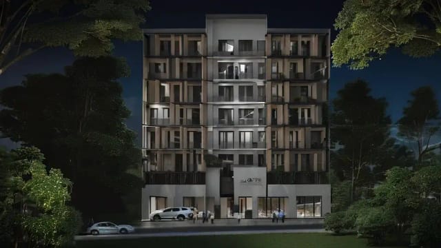
Map rooms on each floor and show their details. Link a room to your booking page when you want visitors to continue to your reservation system.
Explore the hotel demo
Use your own masterplan or aerial image as a background. Draw a clickable region for each building or lot and manage the associated unit information.
Explore interactive site plansExample images and demo property data are for demonstration.
Choose according to who will maintain the map and the information it needs to show. HTML image maps remain supported; responsive layouts need extra coordinate handling.
| Task | HTML map / area | Custom SVG map | Interactive Real Estate |
|---|---|---|---|
| Create clickable regions | Write map and area tags | Write vector shapes and links | Draw polygons in WordPress |
| Keep areas aligned on smaller screens | Recalculate pixel coordinates | Use a shared viewBox | Responsive SVG overlay |
| Maintain prices and availability | Build your own data handling | Build your own data handling | Edit unit data in WordPress |
| Publish on a site without WordPress | Yes | Yes | Requires WordPress |
Install Interactive Real Estate, create a project, and upload a JPG, PNG or WebP building render, floor plan or site plan you have permission to use.
Place polygon points around a floor, room, building or unit. The editor creates the SVG overlay without requiring you to write SVG code.
Assign unit details such as name, area and price. Choose the available click action: a detail modal or a destination link. Check pricing for advanced options.
Copy the generated shortcode, such as [irep_project id="123"], into a Gutenberg Shortcode block or Elementor Shortcode widget. Check the published page on desktop and mobile.
An image map makes selected parts of a picture clickable. In WordPress, you can add one with HTML or a plugin. Interactive Real Estate overlays SVG polygons on your own images, connects them to property data, and publishes the result with a shortcode.
Interactive Real Estate has a free version on WordPress.org. It supports one project and up to 25 flats, with blocks, floors and the polygon editor. Premium increases project and unit limits; Gold adds features such as filterable lists and inquiry forms. Check the pricing page for the full plan details.
Yes. Create the map in Interactive Real Estate and paste its shortcode into Elementor's standard Shortcode widget. No dedicated Elementor extension or Pro subscription is needed for that widget.
Yes. Upload your own floor plan, site plan or building image and trace its clickable areas in the editor. The plugin does not automatically detect buildings or rooms; you draw and assign the regions yourself.
No. Interactive Real Estate creates image-based property maps using images you supply. It does not download Google Maps images, find property boundaries, provide live street views or generate orthomosaic imagery.
It requires WordPress and uses WordPress shortcodes. It is not a standalone React image-map component or SharePoint web part. For a site without WordPress, an HTML or SVG implementation may be a better fit.
Start with the free WordPress plugin, try the editor, or compare plans for larger projects and advanced features.